

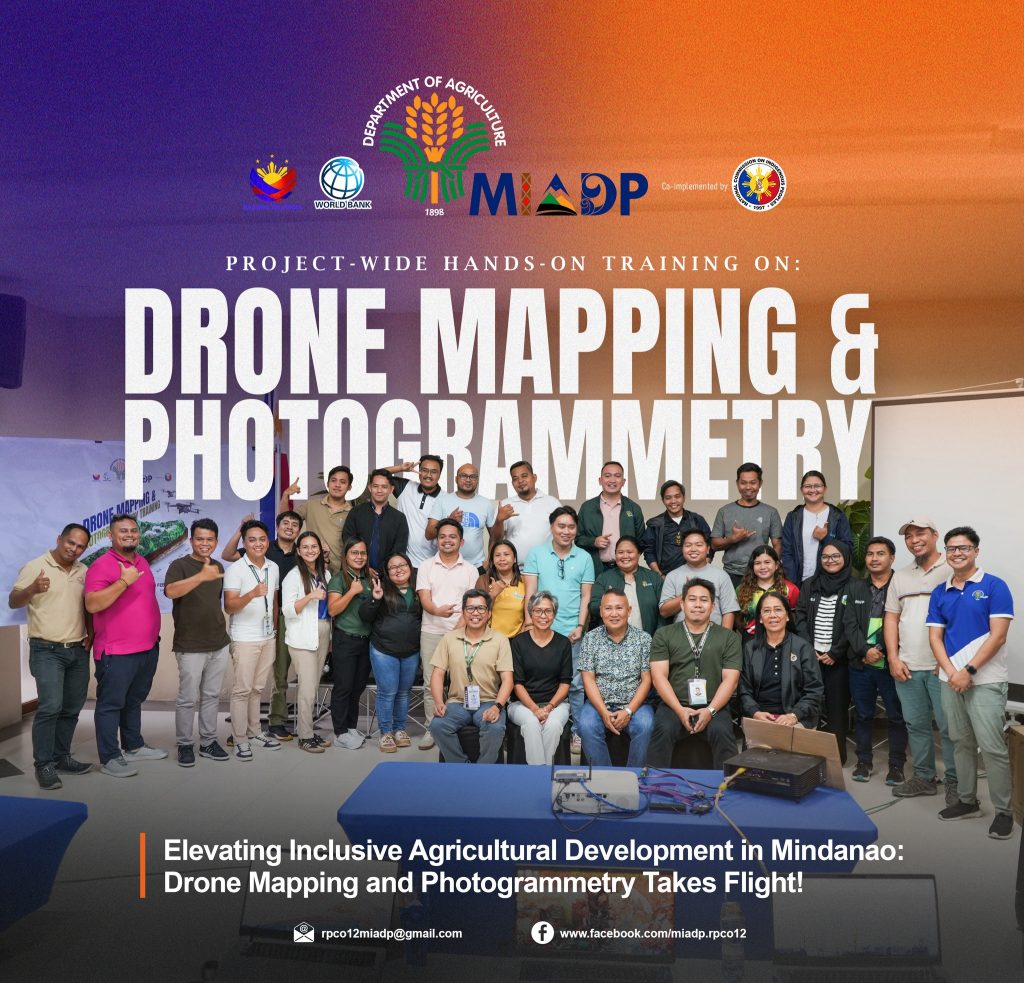
#𝐌𝐈𝐀𝐃𝐏𝐅𝐞𝐚𝐭𝐮𝐫𝐞 | 𝐄𝐥𝐞𝐯𝐚𝐭𝐢𝐧𝐠 𝐈𝐧𝐜𝐥𝐮𝐬𝐢𝐯𝐞 𝐀𝐠𝐫𝐢𝐜𝐮𝐥𝐭𝐮𝐫𝐚𝐥 𝐃𝐞𝐯𝐞𝐥𝐨𝐩𝐦𝐞𝐧𝐭 𝐢𝐧 𝐌𝐢𝐧𝐝𝐚𝐧𝐚𝐨: 𝐃𝐫𝐨𝐧𝐞 𝐌𝐚𝐩𝐩𝐢𝐧𝐠 𝐚𝐧𝐝 𝐏𝐡𝐨𝐭𝐨𝐠𝐫𝐚𝐦𝐦𝐞𝐭𝐫𝐲 𝐓𝐚𝐤𝐞𝐬 𝐅𝐥𝐢𝐠𝐡𝐭!
General Santos City — In a groundbreaking move to harness technology for agri-fishery development, the Department of Agriculture, Mindanao Inclusive Agriculture Development Project (DA-MIADP) has adopted Drone Mapping and Photogrammetry as one of its standard surveying procedures across its six Regional Project Coordination Offices (RPCO) in Mindanao. This innovative surveying method was first introduced in RPCO 12 through a collaborative effort between AD-Infra Component and the Media Production Unit.
The technology’s success in RPCO 12 has led to its project-wide adoption, as required by the MIADP Project Support Office (PSO). A move poised to reinvent the way agricultural development projects are surveyed, planned, monitored, and executed.
To ensure seamless implementation, a 5-day project-wide hands on training was held in London Beach Resort, General Santos City on February 17-21 2025, bringing together AD-Infra Engineers, Geographical Information Systems Officers, and Media Production Officers from the six RPCOs, aimed to equip participants with the skills and knowledge needed to effectively utilize the technology in their respective areas of expertise.
Three resource speakers led the training: Mr. Gaspar Falle Figueroa from the Civil Aviation Authority of the Philippines (CAAP-Gensan) covered Rules Governing The Operation of Remotely Piloted Aircraft Systems (RPAS); Engr. Marlon Barri from RPCO 12 lectured on Photogrammetry and Pix4D Output Processing, and Mr. Adam Ibrahim Alim Canape, also from RPCO 12, led the session on Drone Mission Planning, Terrain Assessment, and 3D Map Animation and Annotations.
The integration of drone mapping and photogrammetry technology is expected to bring numerous benefits, including:
1. Better decision-making through data-driven insights
2. Enhanced project planning with more accurate and updated maps
3. Progress Monitoring and Reporting through real-time data collection and processing
4. Field Safety by minimizing the need for physical surveys
5. Generation of essential output such as Digital Surface Model (DSM), orthomosaic map, contour map and 3D models, which can be shared among survey team members
The applications of drone mapping and photogrammetry extend beyond DA-MIADP as the technology continues to transform various industries, including agriculture, construction, environmental monitoring, and real estate.
As DA-MIADP continues to drive inclusive agricultural development in Mindanao, the integration of drone mapping and photogrammetry is set to revolutionize the surveying landscape by providing more accurate and efficient data collection methods. This will eventually lead to better decision-making processes and improved resource management in the RPCOs.
#𝐈𝐏𝐬𝐇𝐎𝐏𝐄 | Indigenous Peoples Harnessing Opportunities for a Progressive Economy
#DA-MIADP12